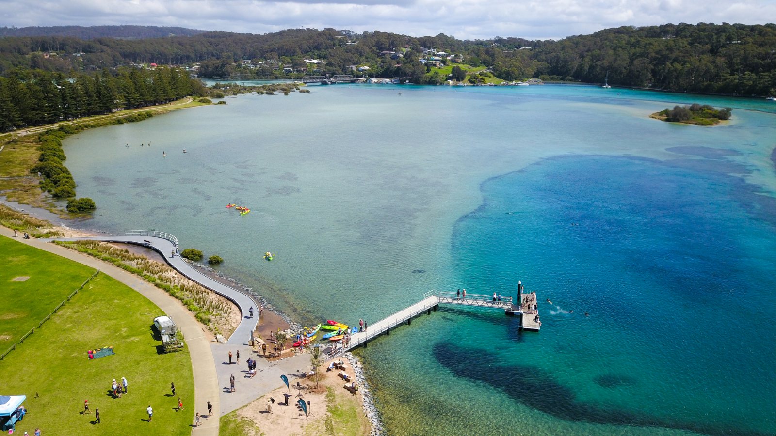
Wagonga Inlet
Wagonga Inlet Estuary is located north and west of Narooma in Eurobodalla. The estuary:
- extends about nine kilometres upstream of the ocean
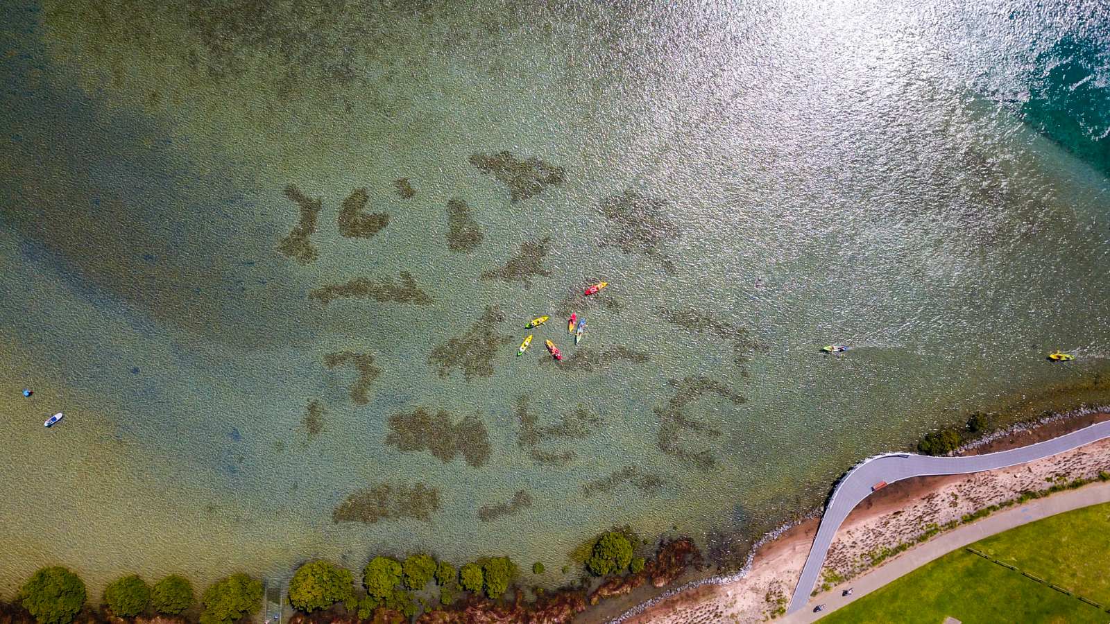
- has a small, steep catchment with low freshwater inflows. As the inlet's water is not much different to sea water, it has a wide range of marine life
- has extensive seagrass beds and fish nursery areas. The inlet is one of two estuaries on the south coast of NSW that has Posidonia australis (strapweed), a seagrass sensitive to habitat changes
- is open to the ocean. It has twin breakwaters that extend seaward and training walls lining the entrance below the Princes Highway bridge
- supports a thriving oyster industry, several tour operators, tourist accommodation, and waterfront restaurants
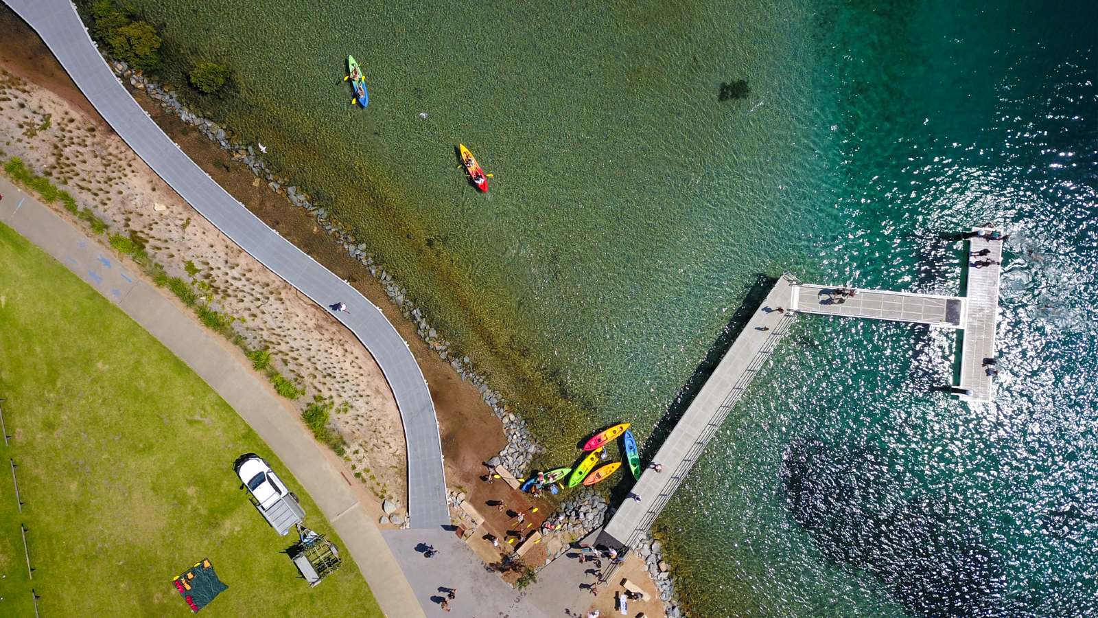
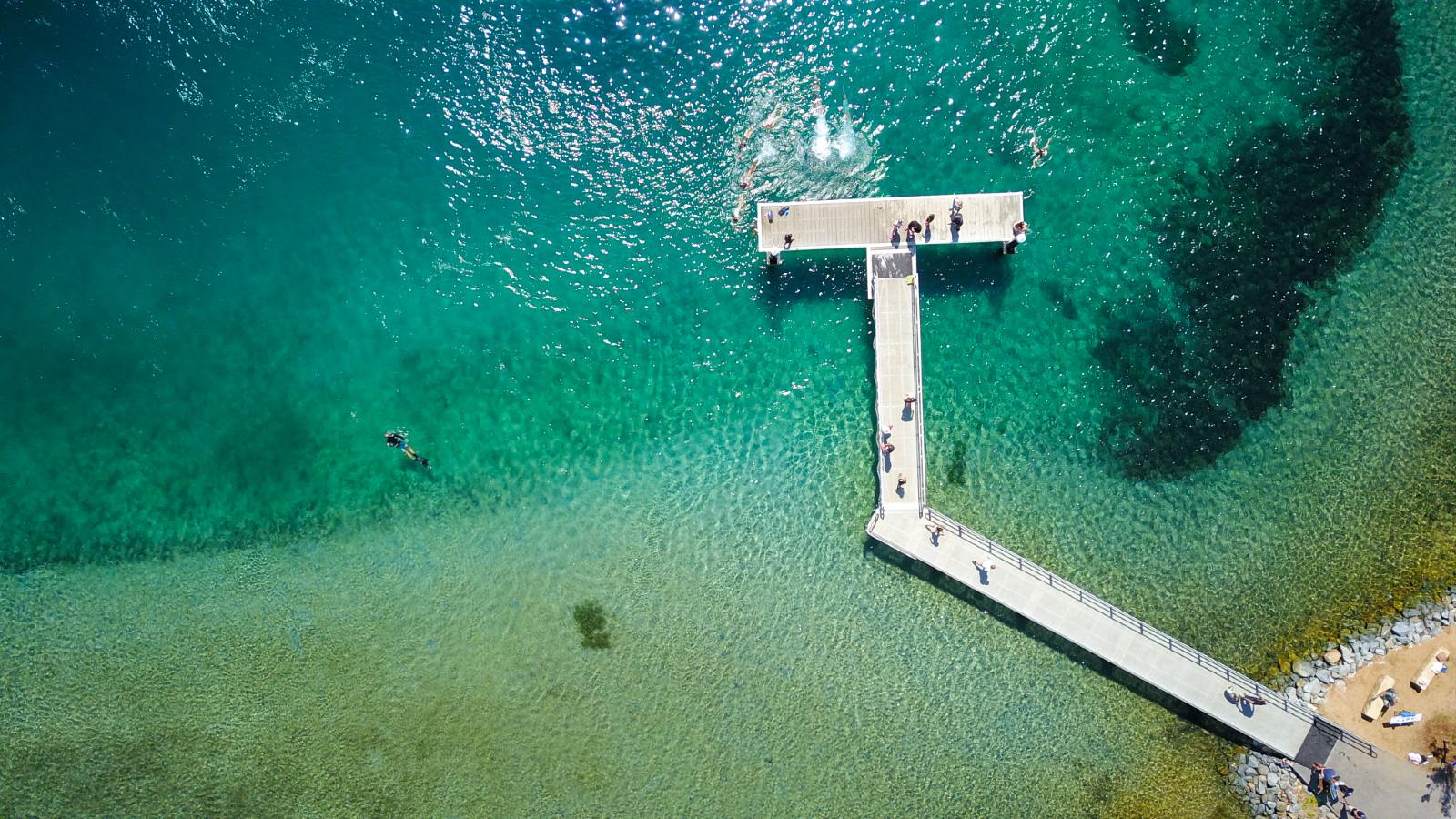
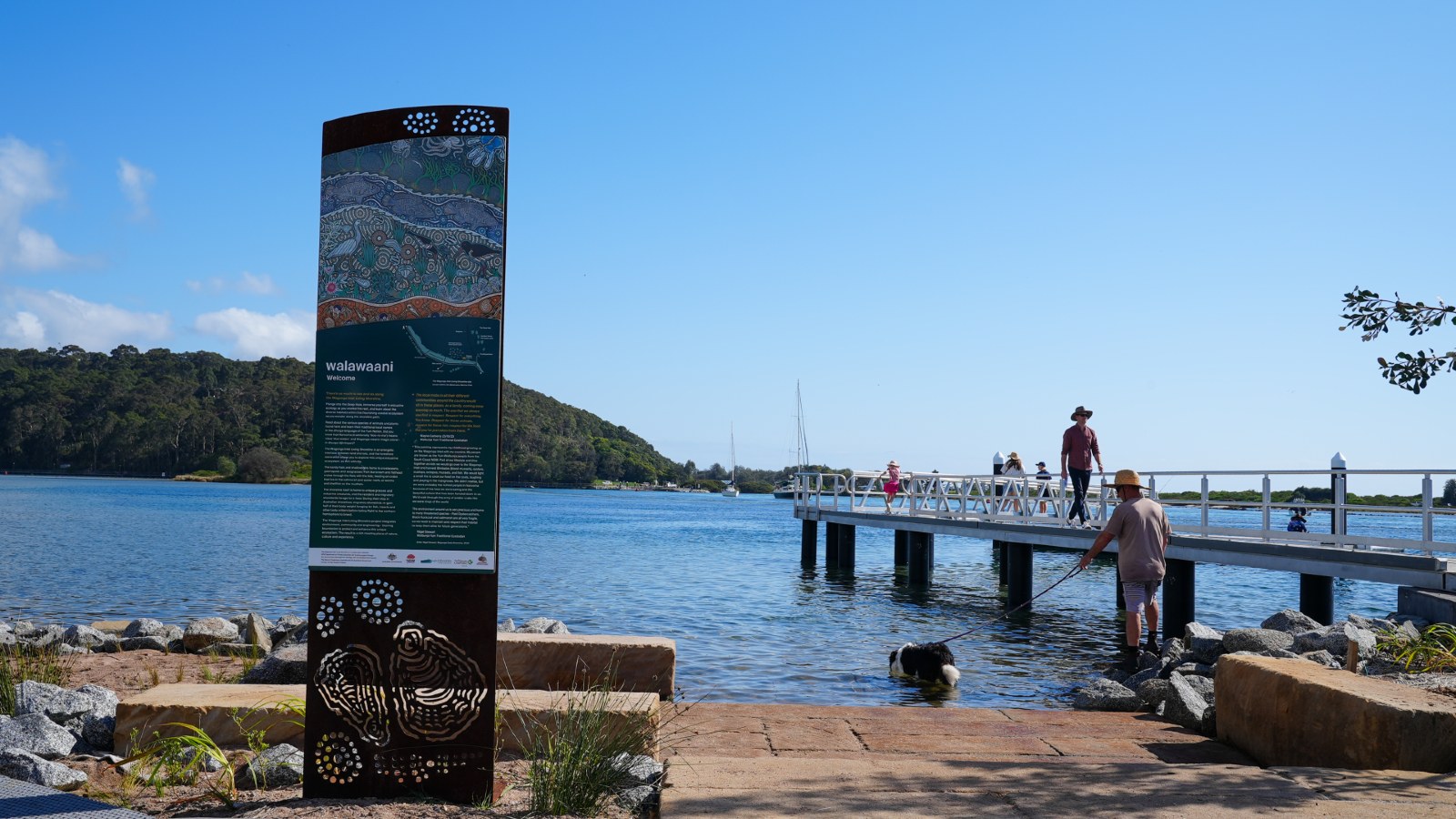
- is a popular place to: swim; kayak; boat; fish; sightsee, and enjoy its riverside parks and boardwalks.
Estuarine Coastal Management Program
Estuaries hold ecological, cultural, economic, and recreational value for us all.
A coastal management program for estuaries aims to:
- manage risks from coastal hazards, such as coastal erosion
- restore degraded coastal habitats next to estuaries
- improve the general health of estuaries, wetlands, and adjacent habitats
- improve the accessibility of estuaries. This allows the community to use and enjoy their natural recreational benefits.
The Estuarine Coastal Management Program helps us to protect, manage, and maintain our estuaries. The program focuses on Moruya River, Mummaga Lake, and Wagonga Inlet. We prepared the program under the coastal management framework, which includes the:
Learn more
Wagonga Inlet Living Shoreline Project
The Wagonga Inlet Living Shoreline Project involved restoring a section of the foreshore to create a ‘living’ shoreline. Living shorelines provide a natural approach to coastal protection by using plants and other natural elements to prevent erosion.
The purpose of the project was to:
- transform and restore a section of the Wagonga Inlet shoreline between the Narooma Swimming Centre and Ken Rose Park
- restore two types of oyster reef
- enrich estuarine habitats
- diversify native saltmarsh along the foreshore
- improve and enhance public access and recreation opportunities
- provide cultural stories and artwork with linkages to Wagonga Inlet
- improve carbon storage
- restore other infrastructure and foreshore areas.
Learn about the project
Watch ABC News' story on our award-winning living shoreline project:
*Images courtesy of Tideline Productions.
Contact us
For more information, contact Council's Coastal Management Planner:
- T: 02 4474 1000
- E: Council@esc.nsw.gov.au