
The DA process
If you are considering developing, you may need to lodge a development application (DA) to seek Council approval.
On this page you'll find a step-by-step guide to the DA process. You'll also find some helpful resources and supporting documents you can use to navigate your way through the application process.
Guide to the DA process and how to lodge your DA
Our flowchart shows the major steps in the DA process:
The Department of Planning, Housing and Infrastructure (DPHI) has developed a guide to explain the DA process. This guide will help you prepare and lodge a DA. It also explains the steps required to begin building.
Our fact sheet outlines how to lodge a DA on the NSW Planning Portal:
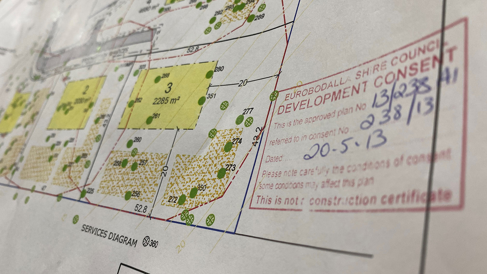
Our DA performance snapshot
See how our statistics for DAs lodged and assessed compare to other NSW councils. You can view this data by council, geographic region, and development type:
Lodgement performance
Average lodgement days
Days between submission date and lodgement date for all DAs lodged, divided by total DAs lodged within the financial year 2025-2026.
Number of DAs lodged
Total number of DAs lodged in Eurobodalla Shire within the financial year 2025-2026.
Number of DAs meeting lodgement expectation
The total number of DAs lodged within the expected timeframe set under the Environmental Planning and Assessment Act 1979.
Assessment performance
Average assessment days
Days between lodgement date and determination date of all DAs determined, divided by total DAs determined within the the financial year 2025-2026.
Number of DAs assessed
Total number of DAs determined within the financial year 2025-2026. Determined DAs are those with a decision outcome of either approved or refused.
Number of DAs meeting assessment expectation
The total number of DAs determined within the expected timeframe set under the Environmental Planning and Assessment Act 1979.
Steps in the DA process
Follow these steps to help you prepare and lodge a DA:


Resources to help you lodge your DA on the Planning Portal
The Department of Planning, Housing and Infrastructure has a range of resources to guide you through the DA lodgement process:
If you’re a Eurobodalla customer, you can get our answers to frequently asked questions about lodging DAs through the Planning Portal:
Contact us
For help with the Planning Portal, contact ServiceNSW:
- T: 1300 305 695
- E: ServiceNSW
For questions about your application, contact Council's Development Help Desk:
- T: 02 4474 1231
- E: Development Help Desk
Disclaimer: This page provides a summary of the major issues relating to the submission of plans for a DA. This information does not address every issue that could occur.