Batemans Bay Masterplan: shaping a vibrant future
Project: The draft Batemans Bay Masterplan aims to simulate economic development, consider infrastructure requirements, provide housing diversity and affordable options, enhance community wellbeing, and respond to climate change impacts. These objectives will help guide the way to a vibrant, sustainable, resilient community, that is prepared for future growth and development.
Timeframe: August 2022 to early 2026
Status: In progress
Cost and funding: $300,000
Page last updated: May 2025
Project details
We are working to:
- confirm a vision and guiding principles for future private and public development
- recommend height, density, infrastructure, and movement solutions.
Benefits to the community:
- more housing choice and diversity in Eurobodalla
- plan for a town that builds on its regional significance and supports economic growth and sustainability
- ensure growth in Batemans Bay is resilient to climate change
- develop a sense of community by planning for a town our children and grandchildren will be proud of
- encourage the features of a town that people want to visit, stay, and live in
- improved employment opportunities provide quality of life, jobs, and services.
Background and purpose
Batemans Bay is divided by the Clyde River into North Batemans Bay (including Surfside), with the southern side containing the town centre, and suburbs of Catalina, Batehaven, Denhams Beach, and Surf Beach. The town features a beautiful coastal and riverine landscape with stunning water and mountain views, lush tree cover, and large open spaces. Its linear urban footprint covers 2,033ha, and provides ideal 10 to 20-minute walkable neighbourhoods.
The draft masterplan:
- aspires to create a beautiful, vibrant, sustainable, and inclusive town that provides for future generations
- enables improvement and preservation of key significant features of the area for future generations.
- highlights preferred key sites, growth areas, and beautiful places
- aims to guide Batemans Bay's growth to 40,000 residents by 2100. This natural population growth will vary depending on economic trends.
Our aim of this project is to establish an understanding of beautiful buildings and places - from our community's perspective.
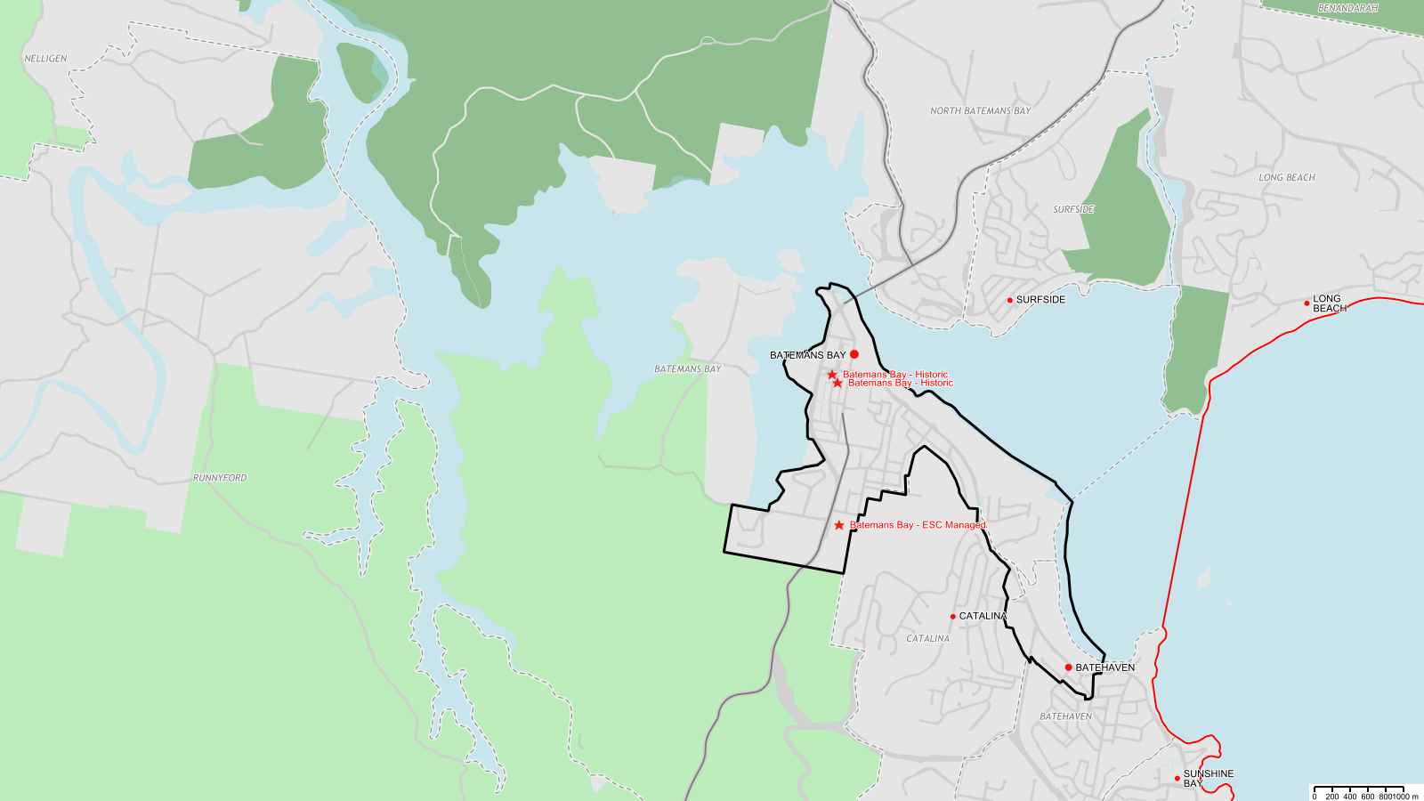
Location
Get involved
We're asking for the community's input into the masterplan so we can learn about - and consider - the community's aspirations for the town. We've already received a lot of feedback from the community about past related projects. The engagement process will reflect this feedback and encourage more detailed conversations with our community.
There are different opportunities to get involved in the masterplan process and share your views to refresh and inspire the existing vision for the town.
Have your say on the draft masterplan
The draft Batemans Bay Masterplan is currently on public exhibition. You can access masterplan documents and share your thoughts through the feedback form on our public exhibition page. Submissions close on 30 June 2025.
Visit the team at our pop-up shopfront
During the exhibition period, visit the team in person at our pop-up shopfront to chat and share your insights directly:
- Where: Former Rivers shop at The Village Centre - 1 Perry Street, Batemans Bay
- When: Monday 14 April to Friday 30 May 2025 (closed public holidays)
- Time: 9.30am – 3.30pm
Take our short survey
We're asking for your feedback on what a beautiful coastal town and building looks like. In the survey, we ask you to upload one colour image of a building, tell us where it’s located, and what makes it beautiful. Your input will help inform the masterplanning of Batemans Bay.
Masterplan documents
- Draft Batemans Bay Masterplan (10.6 MB)
- Batemans Bay Masterplan - movement and place collaboration report (4.7 MB)
- Batemans Bay Masterplan - economic analysis (2.1 MB)
- Batemans Bay Masterplan - height and density study (3.9 MB)
- Batemans Bay Masterplan - height and density study - Appendix A - benchmarking (1.1 MB)
- Batemans Bay Masterplan - height and density study - Appendix B - massing studies (3.2 MB)
- Batemans Bay Masterplan - height and density study - Appendix C - GFA calculations (139.6 KB)
Frequently asked questions
We've prepared some frequently asked questions and answers about the draft Batemans Bay Masterplan.
Why are we proposing the construction of tall buildings?+
The population of Batemans Bay is growing and is likely to double during the period covered of the Batemans Bay Masterplan. Due to the nature of the environment, the township cannot expand outward, requiring taller building or smaller lot sizes, townhouses, and terrace-style dwellings to accommodate the increasing population.
The plan outlines five building height ranges across six key sites. Urban design consultants identified these sites based on the ability to support additional heights and visual appeal at these locations.
The building heights throughout Batemans Bay will vary, resembling the crest and trough of a wave, harmonising with the Bay’s landscape and gateways.
What is the intended height of buildings?+
Building height can measure 20, 40, 60, or 80 metres when assessed from sea level.
The allowable heights vary by site based on land elevation.
- Up to 20 metres (Up to RL20).
- Up to 20 metres, with the option to increase to 40 metres if requirements are met.
- Up to 40 metres, with the option to increase to 60 metres if requirements are met.
- Up to 60 metres, with the option to increase to 80 metres if requirements are met.
- Up to 80 metres, with the option to increase to 100 metres if requirements are met.
Requirements
- Include affordable housing.
- Incorporate green features (like landscaping and rooftop gardens).
- Carry out a Council design review.
- Demonstrate visually appealing design principles.
While meeting all four requirements is unlikely, a 5-metre bonus is available for each requirement met.
What other aspects does the masterplan cover?+
The plan includes enhancements to infrastructure, new housing developments, commercial areas, and public amenities to promote economic and social sustainability. Proposed changes for Perry Street and the Water Gardens will create new alternative spaces, incorporate street trees and lighting, and introduce diverse housing and office spaces. A residential area will also be included along the quayside.
Why are we doing this?+
The plan sets a vision for Batemans Bay's future development, provides for population growth, aims to increase housing options, boost local economic growth, enhance climate resilience, and make the town a desirable place to visit, live, and work.
It outlines appropriate building heights and density, addresses infrastructure needs, and ensures high-quality design for higher-density developments.
Are we suggesting increased height everywhere?+
No, we are not. Six sites will have options for significant height increases, while most locations will see some height enhancements. Appendix 2 of the plan outlines which areas may expect height increases, and the levels.
Why do we want supermarkets located south of Beach Road?+
The current locations of supermarkets are a major contributor to traffic congestion. The plan promotes relocating supermarkets away from the current locations and closer to suburbs.
What are we doing about climate change and sea level rise?+
Flood and inundation modelling provides key principles that shape the plan. These include: no basement parking; residential and commercial ground floor levels set above the flood limits; wave return wall protection for foreshore walkway shops; increased open space, and street trees for shade. Examples include proposed changes to Perry Street and the Water Gardens, and stormwater upgrades.
What is happening with the old bowling club site?+
Potential height for the site and development opportunities have been identified in the plan.
Council owns the old bowling club site and expressions of interest in its development were sought. The outcome of the expression of interest is pending completion of the Batemans Bay Masterplan.
Project updates
April 2025
- Council is holding a pop-up shopfront at Batemans Bay from 14 April 2025 to 30 May 2025. The community can view draft plans, 3D drawings, and a video fly-through so they can visualise our concept for the town.
- Council is asking for the community to take a quick survey to share their views on what a beautiful coastal town and building looks like to help shape the master planning of Batemans Bay.
- The draft Batemans Bay Masterplan is on public exhibition from 14 April 2025 to 30 June 2025. The community can provide direct feedback on the draft masterplan.
March 2025
- Council distributed the draft masterplan to councillors for their review.
- Council presented the draft masterplan at the Ordinary Meeting of Council on 25 March 2025, to place it on public exhibition for 42 days, starting on 14 April 2025. After the exhibition period, we'll present a report to Council to consider the submissions received and endorse the final masterplan.
November 2024
- Council prepared the draft masterplan.
- Council engaged consultants who are completing their research related to economic growth, building heights, and landscape improvements.
- Council will consider the draft masterplan for the purpose of placing it on public exhibition for community feedback. The feedback period will take place in early 2025.
August 2022
- Council sought quotes for technical specialists to prepare studies that will help inform the masterplan.
You can sign up to receive updates throughout the project:
Watch
Check out the fly-through of the proposed look and feel for Batemans Bay under the draft masterplan.
More information
For more information, contact our masterplan hotline on:
- T: 4474 1007
- E: Mr Vivian Straw